Photo Survey gives PowerCADD the ability to survey building facades with just a photo and 4 measured points or rectify a map using powerful terrestrial photogrammetry techniques.
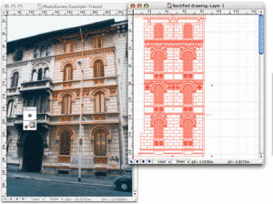
Photographic survey of a facade of a building with traced lines and lines after rectification .
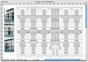
Photographic survey of a facade of an ancient building

The tools in Photo Survey